Lake Superior Watershed Ditch and Culvert Design Workshop- March 6-7, 2013
|
Proceedings
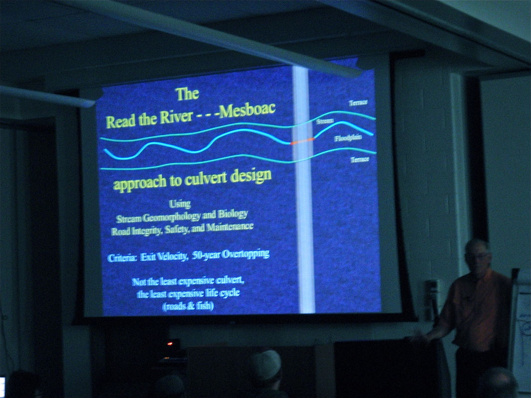
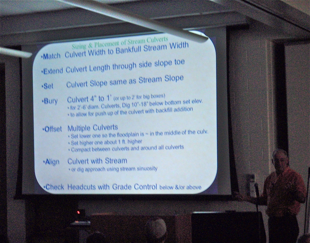
Wednesday March 6th Day 1 Start- 9:00 Welcome, John Jereczek MNDNR Overview and Introduction Watersheds, Streams, and Discharge Unique Aspects of How North Shore Streams Flow and Respond to Storms, Molly Wick, UMD How Stormwater Runoff Affects Stream Fish and Their Food Dr. Valerie Brady, UMD NRRI Rationale for Alternative Crossing Design Approach, Marty Rye, PE USFS Permitting, Cliff Bentley, Hydrologist MNDNR Tools and Examples Climatic data – Mike Stewart, NWS Rainfall Atlas 14, Nancy Johnson Dent, PE BARR Eng. Hydrology Design Tools, Tom Hollenhorst, Ecologist EPA Methods for Assessment and Design of Road-Stream Crossings No Slope Tailwater Control for Low Gradient Streams Stream Simulation for High Gradient Streams Inventory and Assessment Culvert Design Overview Methods Hydrology Alignment and Profile Bed and Banks Structure Sediment Mobility and Stability Canyon Creek Example Great Lakes Road Stream Crossing Inventory Instructions Stream Crossing Data Sheet Dale Higgins. Hydrologist USFS, Mark Fedora, Hydrologist USFS Adjourn Thursday March 7th Day2 Start 8:00 am Practical Planning and Application Introduction- Cliff Bentley, Hydrologist MNDNR Understanding Sediment Flow, Water Flow & Land Use Change The Risky Business of R.I. and MESBOAC Workshop culvert design exercise, HY8 application Using field data and check flows Sandy Verry, USFS Hydrologist, ret. Emeritus Adjourn “This Project was funded in part by the Coastal Zone Management Act, NOAA’s Office of Ocean and Coastal Resources Management, In cooperation with Minnesota’s Lake Superior Coastal Program.” |

Additional Reference Materials |

